this post was submitted on 28 Aug 2026
497 points (99.4% liked)
Political Memes
12433 readers
3097 users here now
Welcome to politcal memes!
These are our rules:
1) Be civil
Jokes are okay, but don’t intentionally harass or disturb any member of our community. Sexism, racism and bigotry are not allowed. Good faith argumentation only. No posts discouraging people to vote or shaming people for voting.
2) No misinformation
Don’t post any intentional misinformation. When asked by mods, provide sources for any claims you make.
3) Posts should be memes
Random pictures do not qualify as memes. Relevance to politics is required.
4) No bots, spam or self-promotion
Follow instance rules, ask for your bot to be allowed on this community.
5) No AI generated content.
Content posted must not be created by AI with the intent to mimic the style of existing images
founded 3 years ago
MODERATORS
you are viewing a single comment's thread
view the rest of the comments
view the rest of the comments
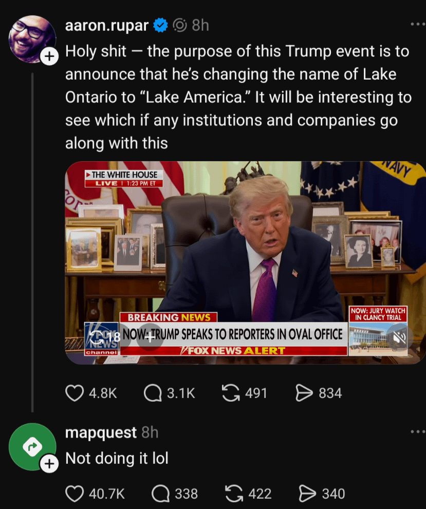
Wonder not:
https://community.openstreetmap.org/t/lake-ontario-lake-america/146975
Basically, OSM is a database containing points, paths, and polygons.
Each item can have any number of fields. Obvious ones like lat and lon, and specific ones like speed limit or entry fee.
An item can have many names, and its up to the renderer to choose which to show a user, or whether to show any.
The locale specific name for the US will change whenever the US govt department adopts the new name.
The general, most commonly used name will be lake Ontario until the most common make for the lake is lake America, which is unlikely to be ever.
So basically the name is added somewhere so it is searchable but never displayed
I'm not sure about that "currently not the case".
I mean you can download the data from OSM, open it in QGIS, and make a custom map of your city. You could use whatever locale you wanted for names.
My point is, any assertion that it's not used by a renderer is false, because someone will inevitably use it